The London Green Infrastructure Framework
This article is produced as a Toolkit for users. It is reproduced from various pages on the GLA website and is produced by the GLA/Mayor of London. Please see the linked pages to access the mapping framework and supporting information.
Introduction
The London Green Infrastructure Framework (LGIF) is a strategic evidence tool for anyone involved in green infrastructure (GI) planning, delivery and management in London. It combines key London-wide GI data in one place. It helps identify where and how to invest in new or improved GI and maximise its benefits for Londoners. It supports decision making for the Greater London Authority (GLA), London boroughs, landowners, designers, funders and others involved in GI.
The LGIF is a recommendation of the London Climate Resilience Review and complements the draft London Local Nature Recovery Strategy (LNRS). The LGIF is similar to Natural England’s GI Mapping Database, but uses London-specific data and gives analysis for a London context.
The LGIF will help inform strategic spatial planning for London, including the next London Plan and support future applications through the Mayor’s Green Roots Fund. It will provide evidence to show why GI projects are needed in certain areas. It will also help the Greater London Authority (GLA) direct future investment in GI to those areas of greatest need.
How the LGIF can help you
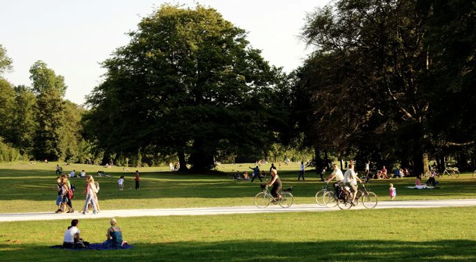
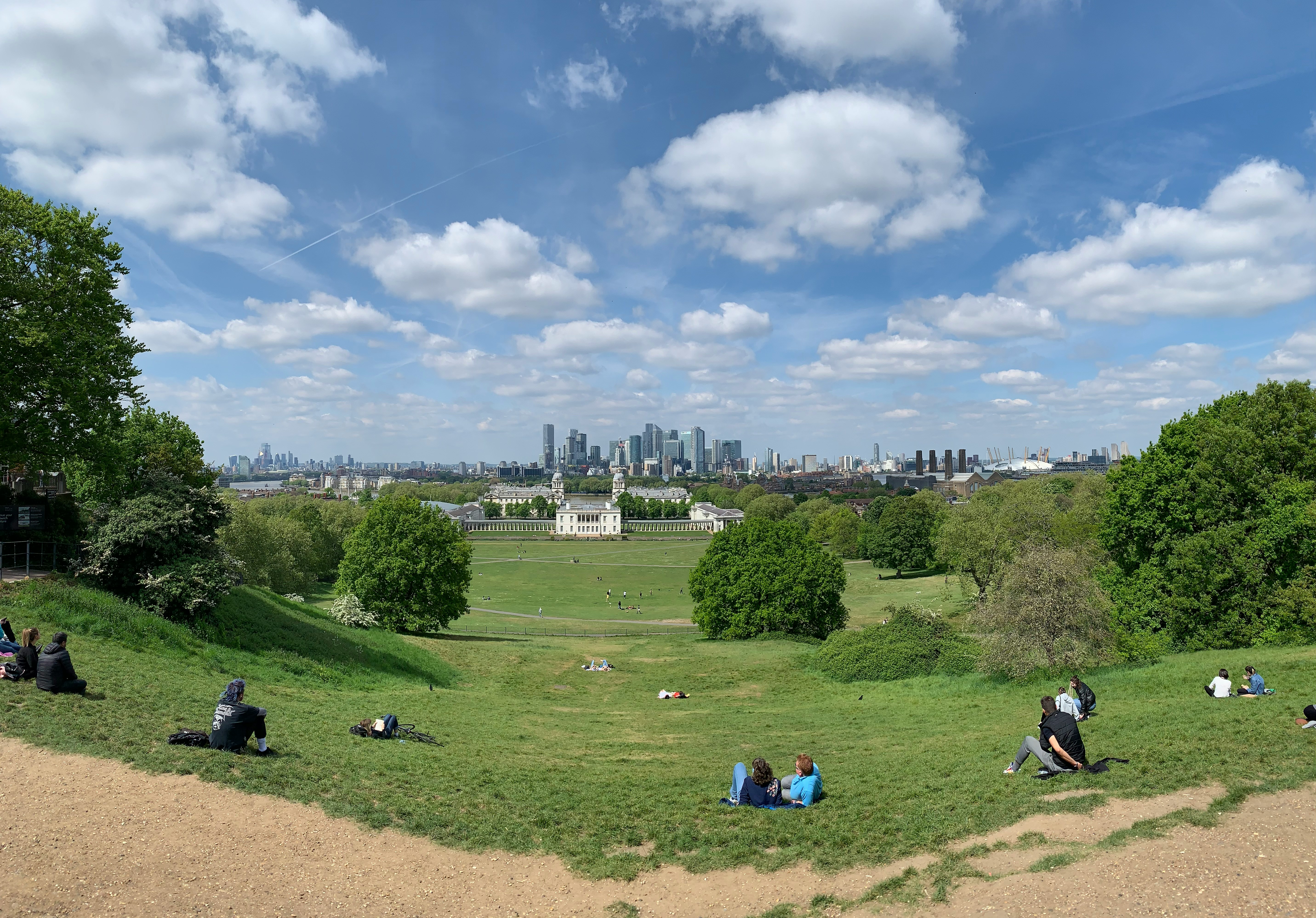
The London Green Infrastructure Framework brings together key London-wide green infrastructure data in one place. You can use it to evidence, plan and prioritise the green infrastructure Londoners need.
The LGIF can be used to:
- identify priority areas for creating new or adapting existing GI
- identify the most beneficial GI functions to deliver in an area
- inform management decisions and investment priorities
- provide evidence to support funding applications
- inform plan-making and development proposals
- inform land and site management.
How do I access the LGIF?
How to use the London Green Infrastructure Framework
Visit the main page to read an introduction to the LGIF.
Go to the web-map site to start exploring the LGIF.
What are the LGIF Objectives?
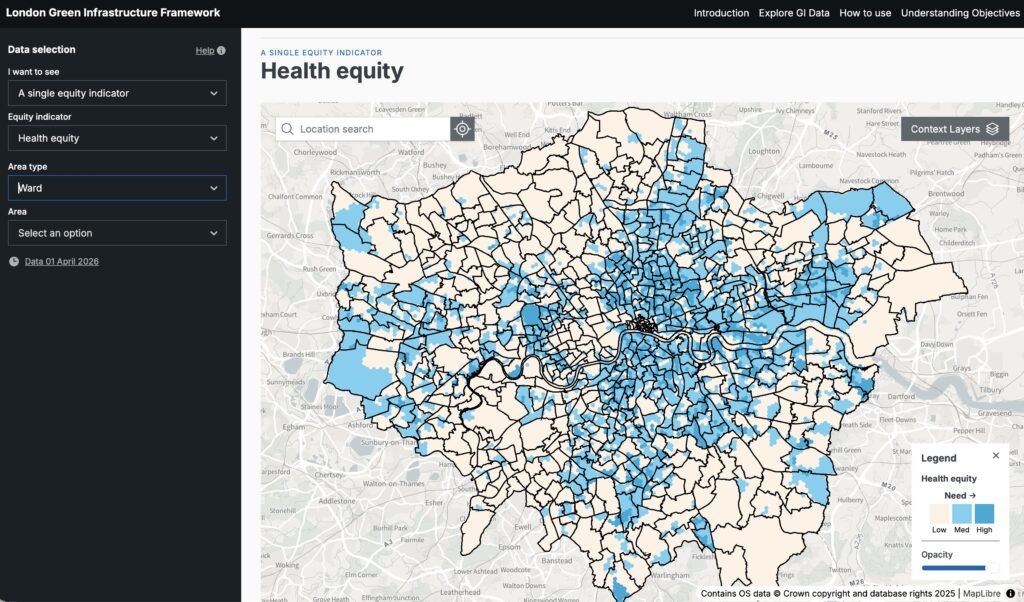
The LGIF brings together data on ten GI ‘Objectives’ in London in a series of maps. These objectives relate to the benefits that GI provides to Londoners – for example, improved access to green space, or urban cooling. It also includes data that shows health and social equity.
Each Objective has a map that shows analysis of:
- areas in greatest need of GI for that Objective (the GI ‘Need’)
- how much GI is already there that addresses the Objective (the GI ‘Provision’).
There is also a combined version featuring all objectives plus health and social equity needs.
The LGIF gives examples of GI interventions that you could consider for achieving the Objective. A summary of these is set out below.
| Objective | Recommendation |
|---|---|
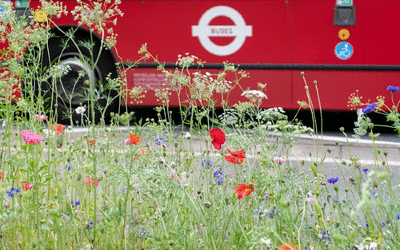
| Improved access to green space | Consider creating new parks and other publicly accessible green spaces, including pocket parks, and creative use of highway space in areas where space is limited. Consider opportunities for community gardens and food growing. Consider new access points into existing green spaces to improve their accessibility. |
| Improved access to blue space | Consider opening up inaccessible waterside or improving existing access through measures such as new or improved waterside footpaths or improved wayfinding. |
| Nature recovery | Create, improve and connect habitats and boost wildlife populations using evidence from the draft LNRS (Local Nature Recovery Strategy) and other local sources to identify relevant biodiversity priorities and actions. Depending on the location, this could include activity such as tree planting, watercourse restoration, provision of nesting sites, or other appropriate actions. |
| Flood control | Consider opportunities for ‘greening the grey’ by introducing rain gardens, swales and roof gardens to capture and hold rainwater in hard surfaced areas. Consider opportunities to open up or naturalise watercourses through green spaces to slow the flow of water into the drainage system. |
| Clean water | Consider opportunities to introduce ‘buffer’ planting adjacent to watercourses (such as reedbeds) to filter out pollution or the use of rain gardens and swales to intercept road run-off. |
| Urban cooling | Consider opportunities to plant trees to provide shade and increase the amount of green and planted space in the area. Consider combining tree planting with rain gardens to provide added benefits. |
| Clean air | Consider opportunities for carefully designed roadside tree and shrub planting, using pollution tolerant species. |
| Noise reduction | Consider opportunities for wide buffer planting of trees and shrubs adjacent to road and rail lines and the potential for earth mounding to reduce noise intrusion, particularly in residential areas. |
| Greener active travel routes | Consider opportunities for tree planting and other urban greening adjacent to existing footpaths and cycleways. |
| Greener high streets | Consider opportunities for all types of greening including tree and shrub planting, pocket parks and rain gardens to improve the quality of high streets and increase visitor dwell time.Consider ways to better connect high streets to existing parks and green spaces. |
Learn more about the Objectives on the LGIF web-map site and in the LGIF technical methodology reports.
How does the LGIF relate to existing GLA GI and climate change adaptation strategies and mapping tools?
The GLA’s Climate Risk Map identifies the areas of London that are most exposed to climate impacts with high concentrations of vulnerable populations, taking into account social, economic and health data. The Climate Risk Map shows where resilience interventions, not just limited to GI, could be best targeted. The LGIF considers all multi-functional benefits of GI, not just limited to climate resilience (for example, mitigating heat and flooding risk) to enable GI investment to maximise all benefits for Londoners.
Further resources

Surface water flooding in London: new insights from The Developer
Tackling Heat Risk in London: Turning Insight into Action

A vision for a Flood-Resilient City: the London surface water strategy
Comments
There is no contentYou must be logged in to reply.