Local Authority Climate Service (LACS)
Summary
The Local Authority Climate Service (LACS) is a tool that has been launched by the UK Met Office designed to help Local Authorities with their adaptation planning. The LACS will provide local authorities with data about climate change in their area, to support decision-making and climate adaptation planning. The LACS is an interactive tool, which allows anyone to explore climate projections for their local area. Users can generate a report that includes information on national and local climate changes. The report provides insights into the weather and climate hazards that may affect your area.
What is the tool for?
The Local Authority Climate Service (LACS) is a new free service launched by the Met Office which aims to make climate data more accessible and usable for Local Authorities, recognising the key role they play in the national response to climate change. It consists of three main features within the Met Office Climate Data Portal:
- A Local Authority community site featuring useful resources relevant to Local Authorities, including case studies, key infographics and explainer videos.
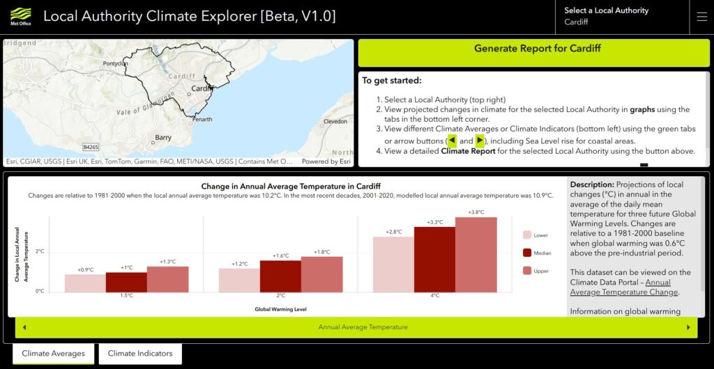
- A Climate Explorer dashboard, allowing authorities to view climate information for their local area, including change indicators such as ‘summer average temperature change’ and impact indicators such as ‘Count of Summer Days (Days over 25°C)’ as well as sea level rise for coastal authorities.
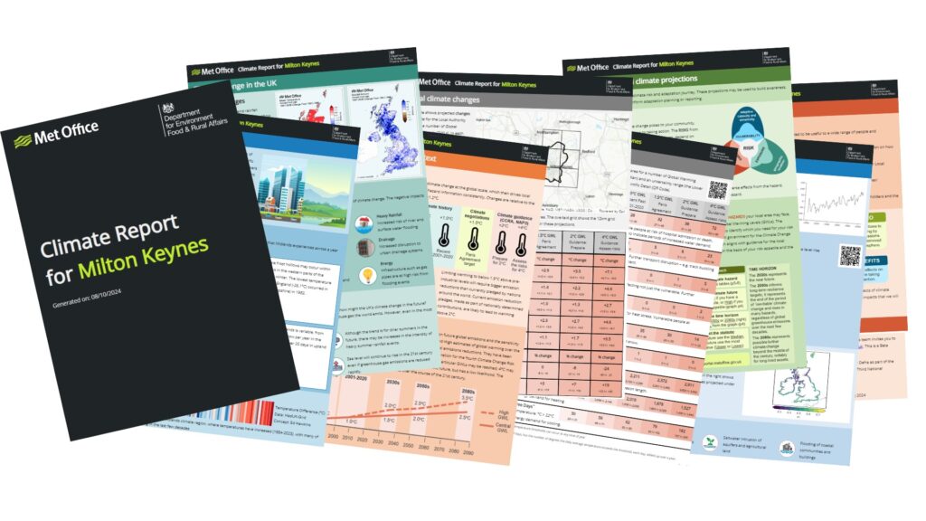
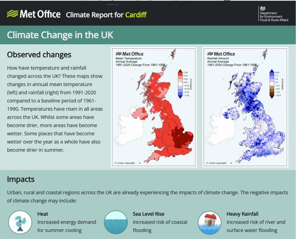
- A Climate Report which summarises the data for the Local Authority area in an easily shareable report format, including simple explainers of the region’s climate and the science that the projections are based on.
Helpful resources
Exploring the climate of your local authority
Further resources
Comments
There is no content